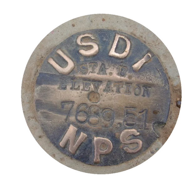
"Cursed be he who removes his neighbor's landmark." --Deuteronomy 27:17
"Cursed be he who removes his neighbor's landmark." --Deuteronomy 27:17
"Cursed be he who removes his neighbor's landmark." --Deuteronomy 27:17
"Cursed be he who removes his neighbor's landmark." --Deuteronomy 27:17

Fritz Land Surveying, LLC, has a distinguished reputation for survey excellence, attention to detail, and responsiveness to clients' needs. Fritz Land Surveying, LLC has offices in Tulsa & Ft. Gibson giving us the ability to cover the entire state of Oklahoma.
Our clients range from individual land and homeowners to architects, engineers, and real estate brokers. We can accommodate fast-paced, short-notice projects, or any other demands the client may have.
The Land Surveyor locates the property on which improvements are planned and constructed. His professional services will cost less in time, worry, and expense than the cost of moving a building, relocating improvements, or defending a lawsuit in court due to a land boundary controversy. Retain a Land Surveyor before planning your development and investing funds, as a protection of your interests.
Our team specializes in boundary surveys, topographic surveys, ALTA/NSPS surveys, LIDAR drone surveys, construction staking, site planning, and ground-based LIDAR scanning.
We are TERO certified, ODOT DBE, City of Tulsa SBE, and FAA Part 107 certified.

"Land Surveying is a method of determining accurate points and lines of direction (bearings) on the earth's surface and preparing from them maps or plans. Boundaries, areas, elevations, constructions lines, and geographical or artificial features are determined by the measurement of horizontal and vertical distances, and angles by computations based on geometry and trigonometry."
Copyright © 2023 Fritz Land Surveying, LLC - All Rights Reserved.
524 E. Main St.
Jenks, OK 74037
918.528.5121
Powered by GoDaddy